2GIS

2GIS

star 4.8
48 Bewertungen
70 Aufrufe
261.57 MB Größe
3+ Alter

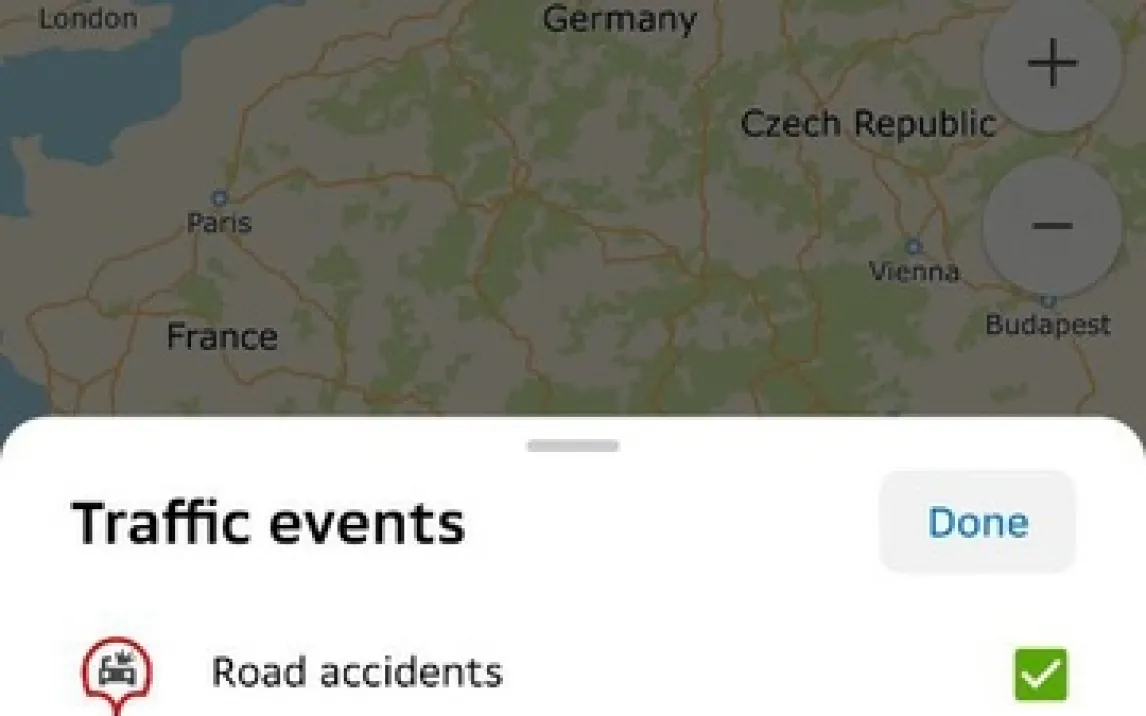
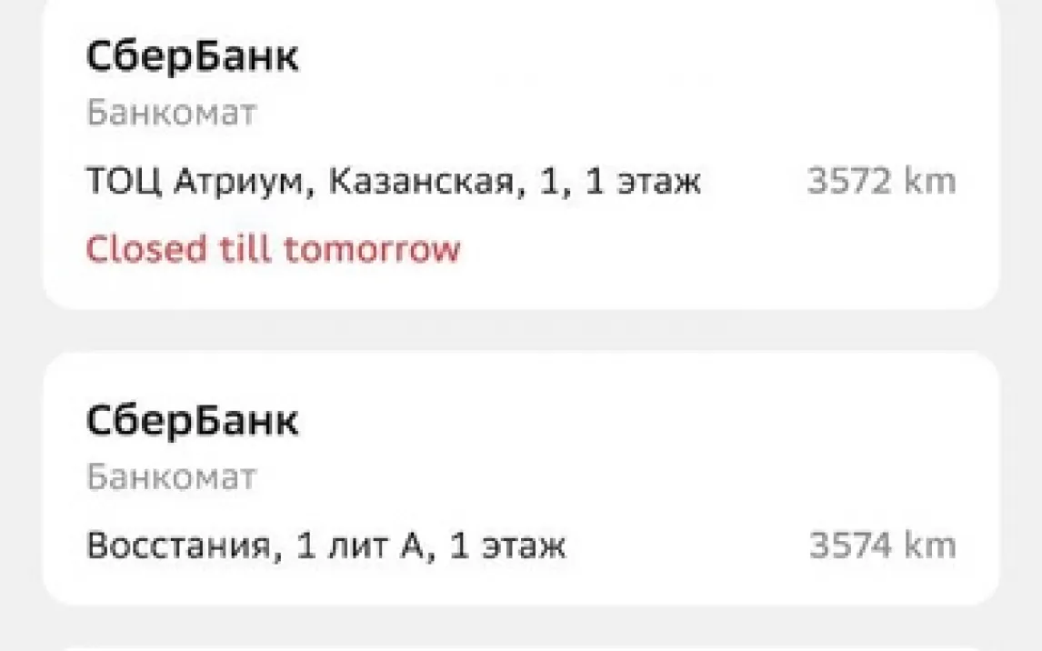
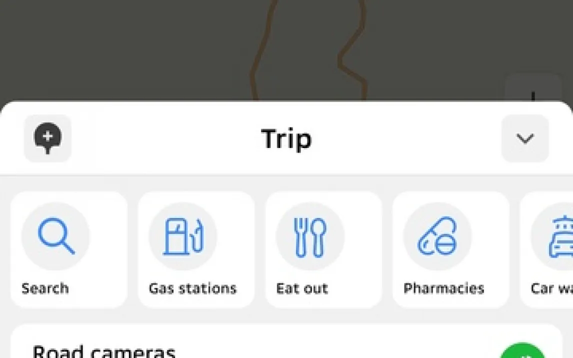
Screenshots von 2GIS (23)
Beschreibung von 2GIS

Nie wieder verlaufen: Die ultimative Offline-Navigation für jede Stadt

Suchen Sie nach einer Navigationslösung, die unabhängig von mobilen Netz funktioniert und dabei präziser und detailreicher ist als viele bekannte Alternativen? Dann ist 2GIS Ihre Antwort. Diese All-in-One-Karten-App kombiniert hochauflösende Offline-Karten, eine intelligente Routenplanung für alle Verkehrsmittel und einen umfassenden Business-Guide zu einer einzigen, unverzichtbaren App für den Alltag. Vergessen Sie teure Roaming-Gebühren oder den Stress, in einer fremden Stadt ohne Internetverbindung dazustehen – mit 2GIS haben Sie die komplette Infrastruktur Ihrer Stadt immer in der Tasche.

Funktionen im Detail: Mehr als nur eine Karte

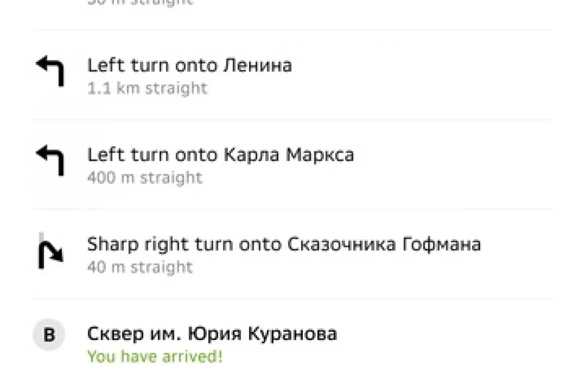
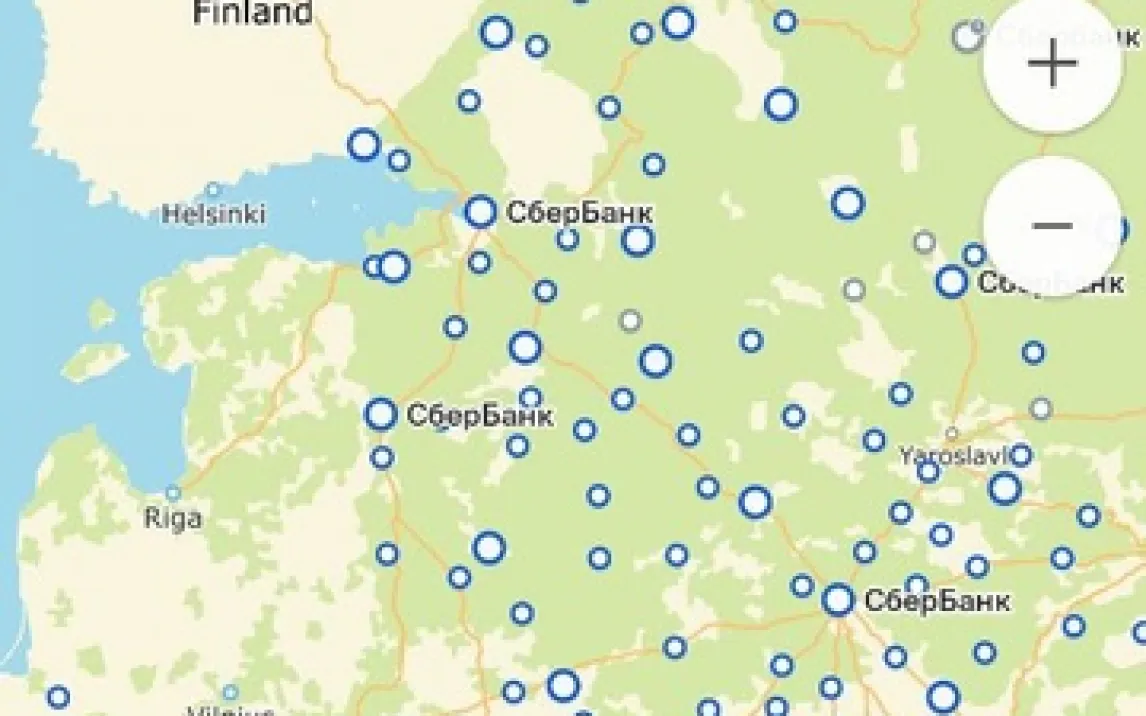
Die Kernstärke von 2GIS liegt in seiner vollständigen Offline-Fähigkeit. Laden Sie die detaillierten Vektorkarten der gewünschten Stadt oder Region einmalig herunter – schon navigieren Sie zuverlässig per Auto, zu Fuß oder mit öffentlichen Verkehrsmitteln, komplett ohne Internet. Die Schritt-für-Schritt-Sprachführung leitet Sie präzise ans Ziel, während die Karte Gebäudeumrisse, Hausnummern, Fußgängerwege und sogar den Innengrundriss großer Gebäude wie Einkaufszentren oder Flughäfen anzeigt.

Die Routenplanung ist ebenso vielseitig wie durchdacht. Geben Sie Start und Ziel ein, und 2GIS berechnet sofort die optimale Verbindung. Wählen Sie zwischen:
- Öffentlicher Nahverkehr: Exakte Abfahrtszeiten, Umstiege, Fahrpreise und die aktuellste Linienführung.
- Autonavigation: Echtzeit-Stauumfahrungen (online), Spurassistent und die Suche nach Parkmöglichkeiten am Zielort.
- Fußgängermodus: Kurzeste Wege durch Parks, Höfe und Fußgängerzonen.

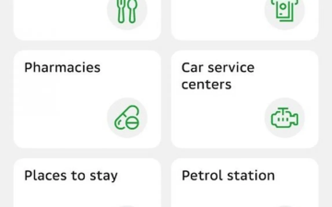
Der integrierte Business-Katalog ist ein digitales Branchenbuch mit Millionen von Einträgen. Finden Sie Restaurants, Apotheken, Tankstellen, Behörden oder Geschäfte in Ihrer Nähe. Jeder Eintrag enthält genaue Kontaktdaten, Öffnungszeiten, Fotos, Bewertungen und die direkte Integration in Ihre Navigation. Planen Sie mühelos Zwischenstopps ein, indem Sie einfach einen Punkt wie eine Tankstelle zu Ihrer aktuellen Route hinzufügen – die App passt den Weg sofort und intelligent an.

  • Komplette Offline-Nutzung
  • ÖPNV-Routing mit Preisen
  • Detaillierter Business-Katalog

Laden Sie die mobile App jetzt herunter!

Warten Sie nicht, bis Sie sich das nächste Mal in einem Funkloch verirren! Transformieren Sie Ihr Smartphone sofort in einen leistungsstarken, unabhängigen Reisebegleiter. 2GIS ist die praktische, datensparende und zuverlässige Alternative für alle, die sich nicht auf eine stabile Internetverbindung verlassen wollen oder können. Holen Sie sich die Freiheit, sich in jeder Stadt wie ein Einheimischer zu bewegen – downloaden Sie 2GIS jetzt!

Hinweis: Für den initialen Download der Karten und Katalogdaten sowie für die Nutzung der Echtzeit-Verkehrsinfos (Staus) wird eine Internetverbindung benötigt. Die App selbst ist kostenlos und kann ohne Werbung genutzt werden. Sie enthält optional kostenpflichtige Premium-Features (2GIS Turbo). Die Nutzung kann je nach gewählten Diensten Datenvolumen verbrauchen. Bitte beachten Sie die jeweiligen Altersbeschränkungen in den App-Stores. Stand der Informationen: Version 7.19.0.611.68.

Neueste Version
7.19.0.611.68 17.03.2026
Zertifikatsignatur: e926a88016035f97280471da9beb09cb
Architektur: armeabi-v7a, arm64-v8a
Versionsverlauf
Entwickler DoubleGIS, LLC
Paketname ru.dublgis.dgismobile
Zusätzlich Mindestversion: Android + 9

Bewertungen und Rezensionen für die App 2GIS

4.8
star star star star star
48 Bewertungen
Bewerte diese App und hinterlasse eine Rezension zu 2GIS
Löse die Gleichung: 2 + 8 =

Versionsverlauf

2GIS 7.19.0.611.68 17.03.2026
261.57 MB
2GIS 7.19.0.610.65 17.03.2026
261.58 MB
2GIS 7.18.0.609.30 17.03.2026
254.41 MB
2GIS 7.9.1.584.7 17.03.2026
184.27 MB
2GIS 7.9.1.583.6 17.03.2026
184.27 MB
2GIS 7.9.1.582.6 17.03.2026
201.47 MB
2GIS 7.9.0.581.24 17.03.2026
201.45 MB
2GIS 7.8.1.580.5 17.03.2026
198.3 MB
2GIS 7.8.1.580.2 17.03.2026
181.11 MB
2GIS 7.8.0.579.3 17.03.2026
198.1 MB
2GIS 7.8.0.578.119 17.03.2026
198.1 MB
2GIS 7.7.0.577.24 17.03.2026
197.82 MB
2GIS 7.7.0.576.19 17.03.2026
197.82 MB
2GIS 7.6.0.575.2 17.03.2026
181.06 MB
2GIS 7.6.0.575.15 17.03.2026
198.27 MB
2GIS 7.6.0.574.12 17.03.2026
198.26 MB
2GIS 7.5.0.573.2 17.03.2026
178.25 MB
2GIS 7.5.0.573.15 17.03.2026
195.46 MB
2GIS 7.4.0.572.35 17.03.2026
197.37 MB
2GIS 7.4.0.572.2 17.03.2026
180.68 MB
2GIS 7.3.1.571.3 17.03.2026
175.24 MB
2GIS 7.3.0.570.30 17.03.2026
175.27 MB
2GIS 7.2.0.569.17 17.03.2026
165.57 MB
2GIS 7.18.0.608.27 17.03.2026
254.42 MB
2GIS 7.17.0.606.25 17.03.2026
250.72 MB
2GIS 7.16.8.605.6 17.03.2026
249.25 MB
2GIS 7.16.7.604.7 17.03.2026
249.26 MB
2GIS 7.16.0.603.29 17.03.2026
246.92 MB
2GIS 7.16.0.602.26 17.03.2026
246.92 MB
2GIS 7.15.2.596.2 17.03.2026
222.96 MB
2GIS 7.15.0.595.26 17.03.2026
222.9 MB
2GIS 7.14.2.594.7 17.03.2026
221.72 MB
2GIS 7.14.0.593.37 17.03.2026
221.68 MB
2GIS 7.13.1.592.7 17.03.2026
219.71 MB
2GIS 7.13.1.591.6 17.03.2026
219.71 MB
2GIS 7.13.0.590.40 17.03.2026
219.44 MB
2GIS 7.12.0.589.57 17.03.2026
202.27 MB
2GIS 7.11.0.588.25 17.03.2026
199.91 MB
2GIS 7.11.0.587.22 17.03.2026
199.9 MB
2GIS 7.10.2.586.6 17.03.2026
83.2 MB
2GIS 7.10.2.586.5 17.03.2026
199.18 MB
2GIS 7.10.1.585.3 17.03.2026
199.15 MB
2GIS 7.10.0.584.27 17.03.2026
199.37 MB
2GIS 7.1.0.568.30 17.03.2026
95.1 MB
2GIS 7.1.0.568.29 17.03.2026
187.19 MB
2GIS 7.0.0.567.26 17.03.2026
196.99 MB
2GIS 7.0.0.566.22 17.03.2026
196.99 MB
2GIS 6.9.1.422.5 17.03.2026
76.9 MB
2GIS 6.9.0.420.17 17.03.2026
76.5 MB
2GIS 6.9.0.418.14 17.03.2026
76.5 MB
2GIS 6.9.0.417.11 17.03.2026
76.5 MB
2GIS 6.8.0.416.16 17.03.2026
86.09 MB
2GIS 6.7.0.415.10 17.03.2026
88.02 MB
2GIS 6.6.1.414.6 17.03.2026
88.11 MB
2GIS 6.6.0.413.24 17.03.2026
101.06 MB
2GIS 6.47.0.564.40 17.03.2026
96.75 MB
2GIS 6.47.0.563.18 17.03.2026
193.62 MB
2GIS 6.46.0.562.26 17.03.2026
191.21 MB
2GIS 6.46.0.561.21 17.03.2026
191.21 MB
2GIS 6.45.0.560.34 17.03.2026
96.47 MB
2GIS 6.44.1.559.3 17.03.2026
188.49 MB
2GIS 6.44.0.558.28 17.03.2026
188.47 MB
2GIS 6.43.1.557.2 17.03.2026
188.28 MB
2GIS 6.42.0.554.23 17.03.2026
189.34 MB
2GIS 6.42.0.553.20 17.03.2026
95.6 MB
2GIS 6.41.0.551.21 17.03.2026
186.63 MB
2GIS 6.40.1.550.18 17.03.2026
185.76 MB
2GIS 6.40.0.549.18 17.03.2026
184.53 MB
2GIS 6.4.0.412.31 17.03.2026
100.28 MB
2GIS 6.4.0.411.29 17.03.2026
100.2 MB
2GIS 6.4.0.410.26 17.03.2026
97.21 MB
2GIS 6.39.0.547.18 17.03.2026
176.56 MB
2GIS 6.39.0.546.17 17.03.2026
176.56 MB
2GIS 6.38.0.545.18 17.03.2026
179.7 MB
2GIS 6.37.0.544.13 17.03.2026
180.39 MB
2GIS 6.36.0.543.4 17.03.2026
90.96 MB
2GIS 6.36.0.543.17 17.03.2026
180.03 MB
2GIS 6.35.0.542.20 17.03.2026
92.06 MB
2GIS 6.35.0.541.12 17.03.2026
179.5 MB
2GIS 6.34.0.540.16 17.03.2026
178.95 MB
2GIS 6.33.0.539.12 17.03.2026
198.03 MB
2GIS 6.32.0.538.12 17.03.2026
197.72 MB
2GIS 6.31.0.535.12 17.03.2026
188.97 MB
2GIS 6.31.0.534.7 17.03.2026
188.98 MB
2GIS 6.30.2.533.6 17.03.2026
187.41 MB
2GIS 6.30.1.532.3 17.03.2026
187.41 MB
2GIS 6.30.0.531.30 17.03.2026
187.4 MB
2GIS 6.3.0.408.12 17.03.2026
96.49 MB
2GIS 6.29.0.530.20 17.03.2026
183.39 MB
2GIS 6.28.0.529.22 17.03.2026
181.24 MB
2GIS 6.27.0.528.14 17.03.2026
171.54 MB
2GIS 6.27.0.527.13 17.03.2026
171.55 MB
2GIS 6.27.0.526.12 17.03.2026
171.55 MB
2GIS 6.26.0.525.13 17.03.2026
170.91 MB
2GIS 6.25.0.524.21 17.03.2026
165 MB
2GIS 6.25.0.523.13 17.03.2026
164.77 MB
2GIS 6.25.0.521.11 17.03.2026
165.08 MB
2GIS 6.25.0.520.12 17.03.2026
164.62 MB
2GIS 6.24.1.519.2 17.03.2026
163.45 MB
2GIS 6.24.0.518.18 17.03.2026
162.8 MB
2GIS 6.23.1.517.2 17.03.2026
162.17 MB
2GIS 6.23.0.516.22 17.03.2026
162.18 MB
2GIS 6.23.0.515.20 17.03.2026
79.03 MB
2GIS 6.22.1.513.4 17.03.2026
161.29 MB
2GIS 6.22.0.512.14 17.03.2026
161.29 MB
2GIS 6.21.0.511.13 17.03.2026
159.74 MB
2GIS 6.20.0.510.14 17.03.2026
160.98 MB
2GIS 6.19.0.509.17 17.03.2026
151.65 MB
2GIS 6.19.0.507.15 17.03.2026
80.03 MB
2GIS 6.19.0.506.14 17.03.2026
80.04 MB
2GIS 6.18.0.505.16 17.03.2026
78.78 MB
2GIS 6.18.0.504.13 17.03.2026
78.78 MB
2GIS 6.17.0.503.16 17.03.2026
153.61 MB
2GIS 6.17.0.502.13 17.03.2026
153.61 MB
2GIS 6.16.0.501.13 17.03.2026
151.56 MB
2GIS 6.15.3.442.59 17.03.2026
73.68 MB
2GIS 6.15.3.441.54 17.03.2026
82.11 MB
2GIS 6.15.3.440.44 17.03.2026
81.98 MB
2GIS 6.15.3.439.40 17.03.2026
73.8 MB
2GIS 6.15.3.438.38 17.03.2026
73.8 MB
2GIS 6.15.3.437.34 17.03.2026
73.91 MB
2GIS 6.15.3.436.17 17.03.2026
73.91 MB
2GIS 6.15.3.435.5 17.03.2026
73.82 MB
2GIS 6.15.3.434.4 17.03.2026
151.69 MB
2GIS 6.15.3.433.2 17.03.2026
151.69 MB
2GIS 6.15.0.432.10 17.03.2026
151.69 MB
2GIS 6.12.0.431.10 17.03.2026
150.07 MB
2GIS 6.10.2.430.6 17.03.2026
149.6 MB
2GIS 6.10.1.429.21 17.03.2026
149.42 MB
2GIS 6.10.1.427.19 17.03.2026
80.81 MB
2GIS 6.10.0.426.30 17.03.2026
148.07 MB
2GIS 6.10.0.426.29 17.03.2026
140.91 MB
2GIS 6.10.0.425.21 17.03.2026
72.16 MB
2GIS 6.1.0.406.20 17.03.2026
94.19 MB
2GIS 6.1.0.405.19 17.03.2026
163.04 MB
2GIS 6.0.0.404.18 17.03.2026
95.85 MB
2GIS 5.54.1.402.23 17.03.2026
88.12 MB
2GIS 5.54.1.401.20 17.03.2026
155.28 MB
2GIS 5.54.1.400.19 17.03.2026
88.12 MB
2GIS 5.54.1.399.14 17.03.2026
88.12 MB
2GIS 5.53.1.398.14 17.03.2026
84.67 MB
2GIS 5.53.1.397.9 17.03.2026
84.66 MB
2GIS 5.53.0.396.13 17.03.2026
83.35 MB
2GIS 5.52.1.394.12 17.03.2026
73.65 MB
2GIS 5.52.0.392.16 17.03.2026
80.01 MB
2GIS 5.52.0.391.14 17.03.2026
80.01 MB
2GIS 5.51.0.390.29 17.03.2026
132.89 MB
2GIS 5.51.0.389.26 17.03.2026
132.89 MB
2GIS 5.51.0.388.25 17.03.2026
82.37 MB
2GIS 5.51.0.387.23 17.03.2026
82.37 MB
2GIS 5.50.0.386.23 17.03.2026
99.98 MB
2GIS 5.50.0.385.21 17.03.2026
99.98 MB
2GIS 5.50.0.384.18 17.03.2026
99.98 MB
2GIS 5.49.1.383.19 17.03.2026
98.7 MB
2GIS 5.49.0.382.28 17.03.2026
92.5 MB
2GIS 5.49.0.381.20 17.03.2026
97.55 MB
2GIS 5.49.0.380.17 17.03.2026
97.55 MB
2GIS 5.48.0.379.14 17.03.2026
86.16 MB
2GIS 5.47.2.371.4 17.03.2026
84.8 MB
2GIS 5.47.0.369.9 17.03.2026
84.76 MB
2GIS 5.46.0.366.10 17.03.2026
84.06 MB
2GIS 5.45.0.364.17 17.03.2026
83.15 MB
2GIS 5.45.0.363.15 17.03.2026
83.15 MB
2GIS 5.44.0.362.4 17.03.2026
161.87 MB
2GIS 5.44.0.361.11 17.03.2026
81.31 MB
2GIS 5.44.0.360.10 17.03.2026
81.31 MB
2GIS 5.43.0.359.14 17.03.2026
82.76 MB
2GIS 5.43.0.358.13 17.03.2026
82.76 MB
2GIS 5.42.0.355.14 17.03.2026
82.64 MB
2GIS 5.40.0.353.15 17.03.2026
83.22 MB
2GIS 5.40.0.352.11 17.03.2026
83.22 MB
2GIS 5.40.0.351.7 17.03.2026
165.45 MB
2GIS 5.40.0.350.4 17.03.2026
83.22 MB
2GIS 5.40.0.324.14 17.03.2026
89.05 MB
2GIS 5.39.0.329.19 17.03.2026
86.35 MB
2GIS 5.39.0.328.16 17.03.2026
86.34 MB
2GIS 5.39.0.327.14 17.03.2026
86.31 MB
2GIS 5.39.0.326.11 17.03.2026
86.36 MB
2GIS 5.39.0.325.9 17.03.2026
87.8 MB
2GIS 5.39.0.324.6 17.03.2026
88.2 MB
2GIS 5.39.0.323.19 17.03.2026
82.29 MB
2GIS 5.39.0.323.17 17.03.2026
88.2 MB
2GIS 5.39.0.322.14 17.03.2026
88.2 MB
2GIS 5.38.0.319.10 17.03.2026
87.85 MB
2GIS 5.37.0.318.17 17.03.2026
87.99 MB
2GIS 5.36.0.317.9 17.03.2026
80.24 MB
2GIS 5.0.9.299.8 17.03.2026
87.57 MB
2GIS 5.0.8.297.13 17.03.2026
87.85 MB
2GIS 5.0.7.291.13 17.03.2026
83.08 MB
2GIS 5.0.7.290.12 17.03.2026
83.02 MB
2GIS 5.0.7.1.294.12 17.03.2026
87.67 MB
2GIS 5.0.7.1.292.6 17.03.2026
83.07 MB
2GIS 5.0.6.2.289.7 17.03.2026
82.25 MB
2GIS 5.0.6.1.288.9 17.03.2026
82.23 MB
2GIS 5.0.5.285.15 17.03.2026
71.35 MB
2GIS 5.0.5.284.11 17.03.2026
71.35 MB
2GIS 5.0.5.1.286.6 17.03.2026
79.6 MB
2GIS 5.0.4.283.20 17.03.2026
77.86 MB
2GIS 5.0.3.278.18 17.03.2026
86.05 MB
2GIS 5.0.2.276.18 17.03.2026
84.86 MB
2GIS 5.0.2.275.17 17.03.2026
75.93 MB
2GIS 5.0.2.274.15 17.03.2026
75.93 MB
2GIS 5.0.17.316.22 17.03.2026
86.61 MB
2GIS 5.0.17.315.21 17.03.2026
86.61 MB
2GIS 5.0.17.314.19 17.03.2026
80.94 MB
2GIS 5.0.16.311.8 17.03.2026
85.63 MB
2GIS 5.0.15.310.12 17.03.2026
85.45 MB
2GIS 5.0.15.309.10 17.03.2026
79.85 MB
2GIS 5.0.14.307.7 17.03.2026
85.89 MB
2GIS 5.0.13.306.12 17.03.2026
81.87 MB
2GIS 5.0.12.304.10 17.03.2026
81.7 MB
2GIS 5.0.12.1.305.6 17.03.2026
81.71 MB
2GIS 5.0.11.303.11 17.03.2026
82.86 MB
2GIS 5.0.10.302.9 17.03.2026
88.32 MB
2GIS 5.0.10.301.7 17.03.2026
88.32 MB
2GIS 5.0.1.273.10 17.03.2026
84.88 MB
2GIS 5.0.1.272.9 17.03.2026
84.88 MB
2GIS 5.0.0.271.20 17.03.2026
83.12 MB
2GIS 5.0.0.270.14 17.03.2026
83.07 MB
2GIS 4.4.4.268.22 17.03.2026
60.46 MB
2GIS 4.4.3.265.6 17.03.2026
64.2 MB
2GIS 4.4.3.264.6 17.03.2026
64.19 MB
2GIS 4.4.2.263.16 17.03.2026
64.4 MB
2GIS 4.3.9.2472 17.03.2026
42.58 MB
2GIS 4.3.9.2453 17.03.2026
39.99 MB
2GIS 4.3.9.2452 17.03.2026
39.99 MB
2GIS 4.3.8.2433 17.03.2026
38.17 MB
2GIS 4.3.7.2426 17.03.2026
37.61 MB
2GIS 4.3.6.2417 17.03.2026
32.96 MB
2GIS 4.3.6.2412 17.03.2026
32.83 MB
2GIS 4.3.6.2385 17.03.2026
32.85 MB
2GIS 4.3.5.2374 17.03.2026
32.78 MB
2GIS 4.3.5.2372 17.03.2026
32.77 MB
2GIS 4.3.4.2361 17.03.2026
38.71 MB
2GIS 4.3.4.2353 17.03.2026
38.69 MB
2GIS 4.3.3.2346 17.03.2026
39.91 MB
2GIS 4.3.2.2329 17.03.2026
39.15 MB
2GIS 4.3.2.2328 17.03.2026
39.14 MB
2GIS 4.3.11.6 17.03.2026
52.89 MB
2GIS 4.3.11.262.4 17.03.2026
52.9 MB
2GIS 4.3.10.2481 17.03.2026
52.43 MB
2GIS 4.3.1.2320 17.03.2026
38.78 MB
2GIS 4.3.0.2301 17.03.2026
38.47 MB
2GIS 4.1.8.1674 17.03.2026
31.96 MB
2GIS 4.1.45.2284 17.03.2026
38.81 MB
2GIS 4.1.44.2269 17.03.2026
38.59 MB
2GIS 4.1.43.2255 17.03.2026
38.18 MB
2GIS 4.1.42.2249 17.03.2026
37.06 MB
2GIS 4.1.42.2246 17.03.2026
37.05 MB
2GIS 4.1.42.2245 17.03.2026
37.06 MB
2GIS 4.1.41.2232 17.03.2026
37.14 MB
2GIS 4.1.41.2227 17.03.2026
37.08 MB
2GIS 4.1.41.2223 17.03.2026
37.07 MB
2GIS 4.1.40.2217 17.03.2026
37.31 MB
2GIS 4.1.40.2209 17.03.2026
37.31 MB
2GIS 4.1.40.2207 17.03.2026
37.31 MB
2GIS 4.1.39.2194 17.03.2026
65.62 MB
2GIS 4.1.39.2183 17.03.2026
34.9 MB
2GIS 4.1.38.2169 17.03.2026
34.46 MB
2GIS 4.1.38.2161 17.03.2026
34.47 MB
2GIS 4.1.37.2143 17.03.2026
34.72 MB
2GIS 4.1.36.2112 17.03.2026
34.34 MB
2GIS 4.1.35.2101 17.03.2026
33.94 MB
2GIS 4.1.34.2081 17.03.2026
33.43 MB
2GIS 4.1.33.2069 17.03.2026
33.37 MB
2GIS 4.1.33.2067 17.03.2026
33.35 MB
2GIS 4.1.32.2046 17.03.2026
33.02 MB
2GIS 4.1.32.2044 17.03.2026
33.04 MB
2GIS 4.1.31.2033 17.03.2026
32.46 MB
2GIS 4.1.31.2026 17.03.2026
32.46 MB
2GIS 4.1.31.2020 17.03.2026
32.46 MB
2GIS 4.1.29.1932 17.03.2026
32.04 MB
2GIS 4.1.28.1907 17.03.2026
31.54 MB
2GIS 4.1.26.1890 17.03.2026
30.7 MB
2GIS 4.1.26.1858 17.03.2026
30.79 MB
2GIS 4.1.26.1846 17.03.2026
30.69 MB
2GIS 4.1.25.1832 17.03.2026
30.55 MB
2GIS 4.1.25.1825 17.03.2026
30.55 MB
2GIS 4.1.24.1814 17.03.2026
29.34 MB
2GIS 4.1.20.1777 17.03.2026
33.43 MB
2GIS 4.1.19.1762 17.03.2026
33.14 MB
2GIS 4.1.18.1740 17.03.2026
33.17 MB
2GIS 4.1.17.1738 17.03.2026
33.09 MB
2GIS 4.1.13.1710 17.03.2026
58.49 MB
2GIS 4.1.11.1698 17.03.2026
32.44 MB
2GIS 4.1.0.0 17.03.2026
53.46 MB
2GIS 4.0.24.0 17.03.2026
30.14 MB